STATUS UNAVAILABLE
Restrictions or events are posted on the Asheville to Canton segment. Drive with care.
Last updated at: NOV 20, 2026, 4:26 AM EST · DriveNC and TDOT SmartWay
Right now, the live status for Interstate 40 between Asheville and Knoxville cannot be shown, because the state feeds are not connected yet (page rendered NOV 20, 2026, 4:26 AM EST). Check DriveNC or TDOT SmartWay before you drive.
Forecasts and current conditions: National Weather Service.
Mileposts 50 to 31 · Asheville, about 2,134 ft to Canton, about 2,615 ft
Leave Asheville westbound and the city lets go quickly: West Asheville, Enka, then the road bends down the Pigeon River valley toward Canton. Fuel and food are easy here and scarce later, so this is the stretch to sort both out.
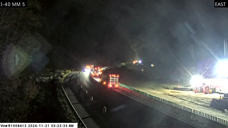
Interstate 40 leaves Asheville as a full urban freeway, tangled for a few miles with I-240 around downtown and the I-26 junction on the west side. This is the busiest stretch of the corridor on this site and the easiest to drive: wide lanes, full services at every exit, and the Blue Ridge Parkway crossing overhead. It is also where east side trips through the gorge are decided. When the verdict at the top of this page shows the gorge closed, the detour starts here: I-26 south from Asheville to I-81 in Tennessee, roughly an hour added to the drive. Fuel, food, and a final decision are all cheaper in Asheville than anywhere ahead.
6 state DOT cameras on this part of the drive.
Mileposts 31 to 20 · Canton, about 2,615 ft to Waynesville, about 2,641 ft
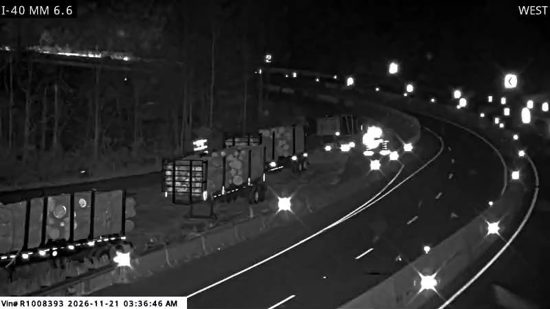
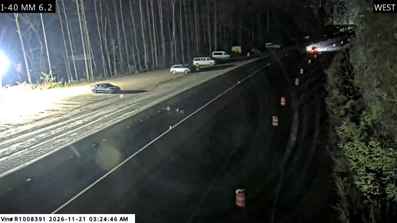
Eleven Haywood County miles past Canton to the Waynesville exits. This is the last full services stretch before the gorge: Waynesville has the fuel, the food, and the hospital. Whatever the verdict says, believe it from here.
Waynesville is the supply stop for the gorge drive from the east. Its Main Street, county services, and hospital sit a few minutes off Exits 27 and 20, and after Waynesville the exits ahead are a rest area grade of services at best: the gorge itself offers almost nowhere to stop, fuel, or wait out a closure. Drivers who need anything before the one lane section should get it here. Truck drivers staging for the work zone, gorge construction workers, and Smokies visitors all funnel through these same two exits, which is why they back up first when the gorge slows down.
3 state DOT cameras on this part of the drive.
Mileposts 20 to 0 · Waynesville, about 2,641 ft to The Pigeon River at the state line, about 1,467 ft
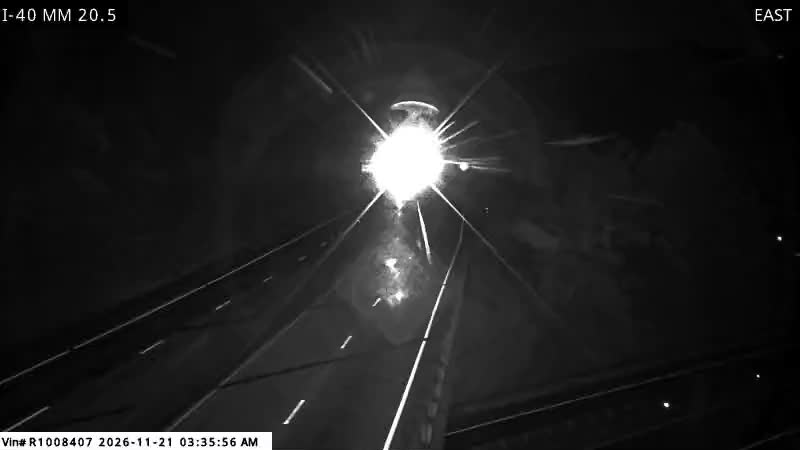
The North Carolina half of the gorge. Past Exit 20 the exits thin to Fines Creek and Harmon Den, the road drops to the river, passes through the tunnel, and the one lane, 35 mph pattern takes over. There is no stopping to reconsider inside it.
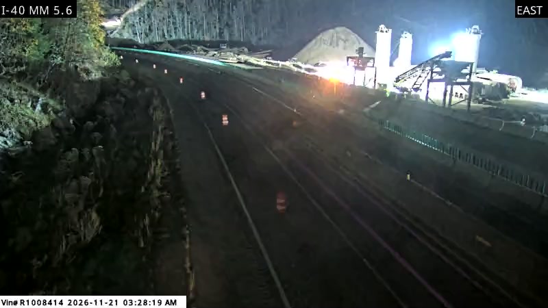
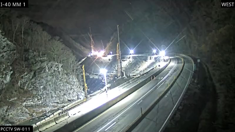
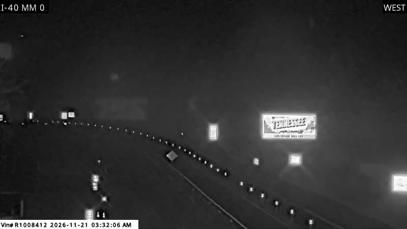
West of Exit 20 the interstate leaves the open Haywood County valley and follows the Pigeon River into the mountains. The road narrows in feel long before it narrows in fact: rock walls on one side, the river on the other, curves that have carried a notorious crash history since the road opened in 1968, and almost no shoulders. Fourteen of the gorge's cameras stand in the eight miles between the state line and the tunnel, the densest camera coverage on the corridor, because this is the stretch where things happen: rockslides, flooding, fog, and crashes that close the only road through.
13 state DOT cameras on this part of the drive.
Mileposts 451 to 435 · The Pigeon River at the state line, about 1,467 ft to Newport, about 1,056 ft
The Tennessee half of the gorge. The state line crosses inside the pattern, then Hartford at Exit 447 ends the restriction. Rafting traffic, the Foothills Parkway junction, and Cosby follow before Newport opens the road up again.
The one lane pattern ends at Exit 447, and Hartford, the small river community at that exit, lives with the gorge at its doorstep. Hartford is known for rafting on the Pigeon River, the same river that flooded this interstate in June 2025 and dropped a rockslide at Tennessee mile marker 450 that closed the road for nine days. Drivers pass Hartford at the exact transition between open road and the tightest driving on the corridor. There are few services here compared with Newport or Waynesville, so Hartford works as a landmark and a warning point: whatever the verdict says at the top of this page, it applies from this exit east.
11 state DOT cameras on this part of the drive.
Mileposts 435 to 379 · Newport, about 1,056 ft to Knoxville, about 886 ft
Open Tennessee running: Newport, the I-81 junction where the long detour rejoins, Dandridge and Douglas Lake country, then the Sevierville approach traffic and the build into Knoxville, where I-40 and I-75 run together through downtown.
West of Newport, I-40 becomes a normal Tennessee interstate: full lanes, regular exits, and the freight stream that runs this road coast to coast. This segment's job on this site is mostly to be the honest contrast. Drivers leaving Knoxville eastbound in clear city weather are an hour from a gorge that can be fogged in, flooded, or queued behind a crash, and nothing about this stretch warns them. That is why the corridor verdict at the top of the homepage is built from the gorge segments, not from this one: a green light here says nothing about the state line.
No cameras are listed on this part of the drive yet. The segment status row above, from the state event feeds, is the live picture here.
The drive west from Asheville starts as a normal interstate trip and becomes a mountain drive by degrees. Leaving the Asheville metro, home to about 490,000 people, I-40 climbs and curves through the mountains of western North Carolina, passing the Canton and Waynesville side of Haywood County. Traffic on this approach mixes local trips, Smoky Mountains visitors, and the same heavy truck flow that will share the gorge with you. This is the place to fuel up, take a break, and make your final check of the gorge verdict, because services and easy exits become scarce once the road enters the river corridor. By the time you reach Exit 7 in North Carolina, the one lane, 35 mph pattern begins, and the character of the drive changes completely.
From Exit 7 in North Carolina to Exit 447 in Tennessee, I-40 runs one lane each way at 35 mph through the heart of the Pigeon River Gorge. The river runs beside you, rock walls rise on the other side, the road curves with the water, and there is almost no shoulder for most of the way. You will pass through the tunnel on the North Carolina side, cross the state line inside the gorge, and share the single lane in your direction with cars, visitors, and trucks that have no practical alternate route. Nothing about this segment rewards hurry. Hold the posted speed, leave space, expect fog near the river and slowdowns behind trucks on the curves, and understand that any crash or stall in this section stops your direction until it is cleared. On a clear, light day it is one of the most scenic interstate drives in the East. On a bad day it is where the whole Asheville to Knoxville trip is decided. The Pigeon River Gorge page tells that story in full.
West of Exit 447 in Tennessee, the road leaves the tightest part of the gorge and the drive opens up through the Hartford and Newport side of Cocke County, then on toward the Sevierville approach country and the wider run into Knoxville. Normal interstate speeds and lanes return outside the work zone, but drivers should stay alert through the transition, where traffic that has bunched up at 35 mph spreads out and speeds change. The Knoxville metro, home to about 920,000 people, brings heavier local traffic as you approach the city and its interstate junctions. If you have come through the gorge on a slow day, resist the urge to make up all the lost time at once on this segment. Arriving a few minutes later on an open road is the normal price of a gorge trip while the rebuild lasts.
Everything on this page reads in reverse for the Knoxville to Asheville drive. The segment pages do not change with direction, because the state feed events carry their own direction when the DOTs post one, and the segment verdicts cover both directions of the same pavement. Eastbound drivers meet the one lane pattern at Hartford instead of Harmon Den, and climb out of the gorge to Waynesville instead of falling into it. The segment comparison is the fastest way to see where today's problem sits before you join it.
I-40 gorge closures, rockslide and flood alerts, and Smoky Mountain weather between Asheville and Knoxville, straight to your inbox. Unsubscribe at any time.
About 122 miles by the exit numbers, and roughly two hours in clear conditions, all of it on Interstate 40. The one lane gorge section adds time on every trip, and a closure sends you around by I-26 and I-81, adding about an hour.
Waynesville or Canton on the North Carolina side for the last full services before the gorge, and Newport on the Tennessee side for the first full services after it. Inside the gorge there are no services on the interstate itself, so fuel and breaks belong on the approaches.
Right now, the live status for Interstate 40 between Asheville and Knoxville cannot be shown, because the state feeds are not connected yet (page rendered NOV 20, 2026, 4:26 AM EST). Check DriveNC or TDOT SmartWay before you drive. NCDOT warns that gorge delays grow on Friday through Sunday afternoons and on holiday weekends, when tourism, intercity travel, and freight peak at once. Early departures generally meet lighter traffic than midday or afternoon departures in peak season.
One, and it is long: I-26 south from Asheville to I-81 in Tennessee, then I-81 back to I-40 at Exit 421, adding about an hour. Follow the posted detour. Local two lane mountain roads are not a shortcut, especially in the rain, fog, or winter weather that usually caused the closure.
About 1,250 feet net, from 2,134 feet in Asheville to 886 feet in Knoxville, with the real shape in the middle: a fall from about 2,641 feet at Waynesville down to about 1,467 feet at the Pigeon River, then rolling foothills the rest of the way.
Road conditions, events, and camera data: the North Carolina Department of Transportation (NCDOT) via DriveNC and the Tennessee Department of Transportation (TDOT) via TDOT SmartWay. Weather forecasts: the National Weather Service.