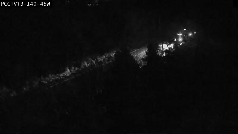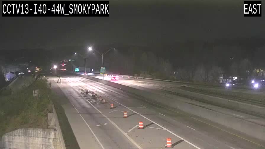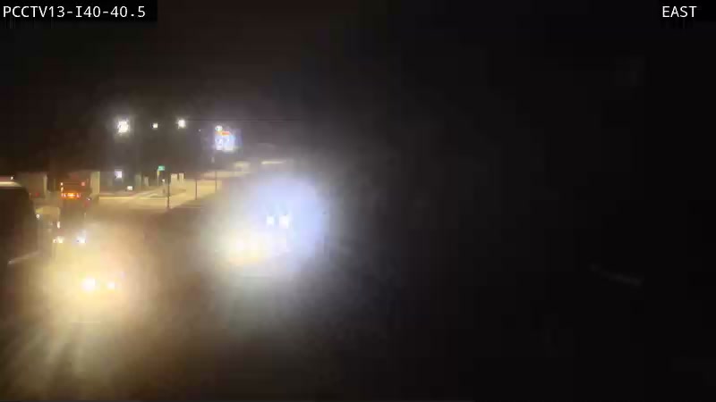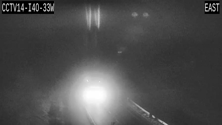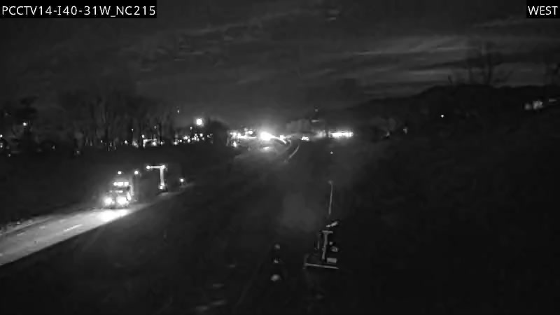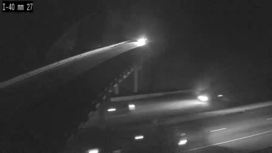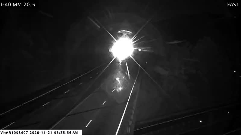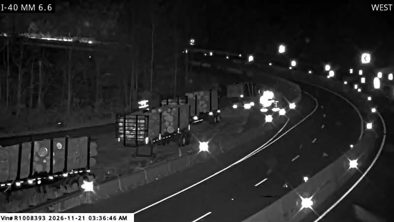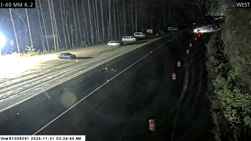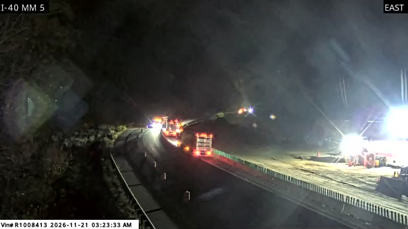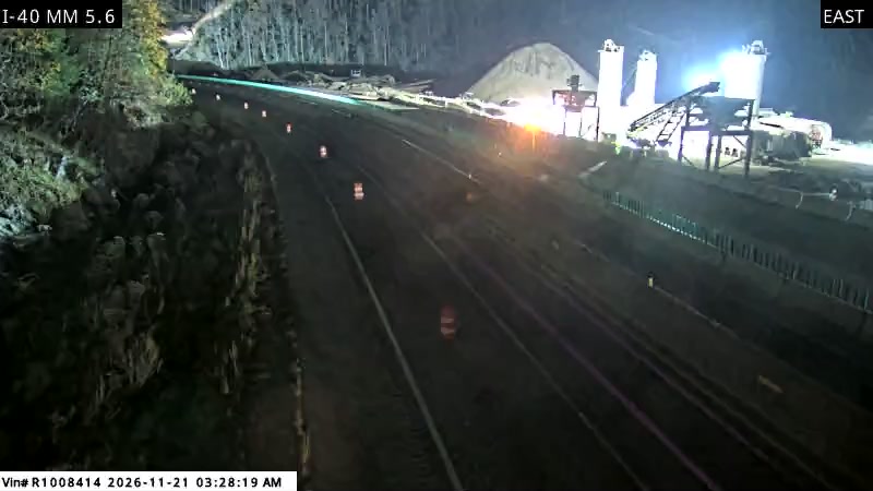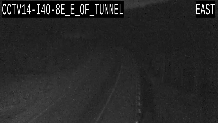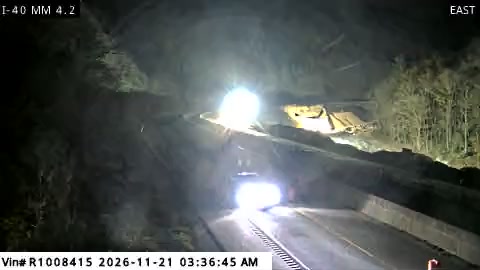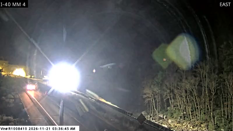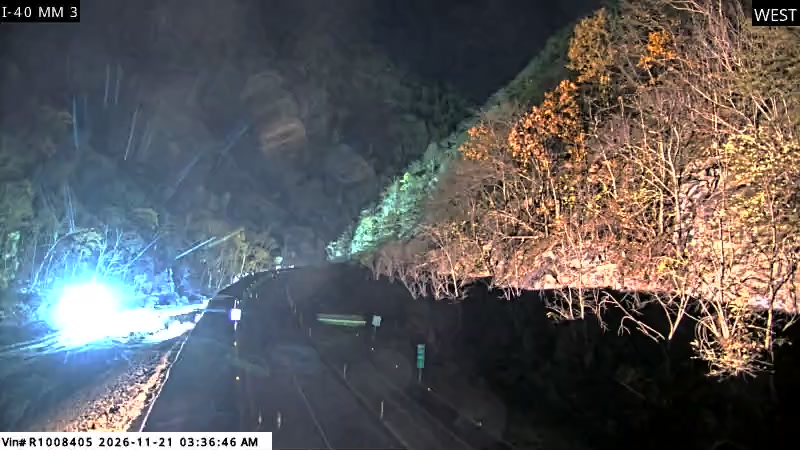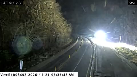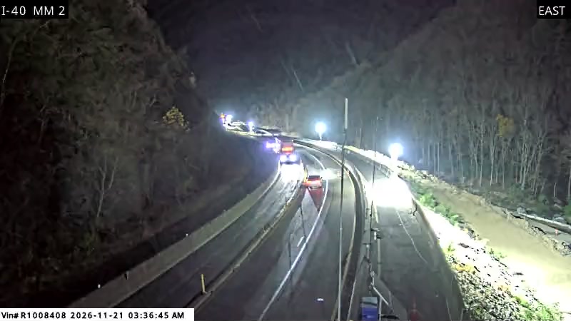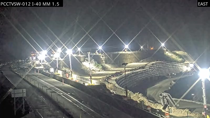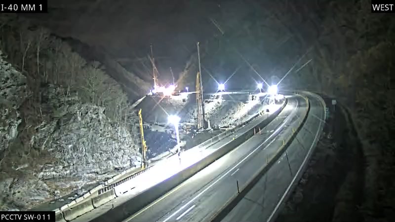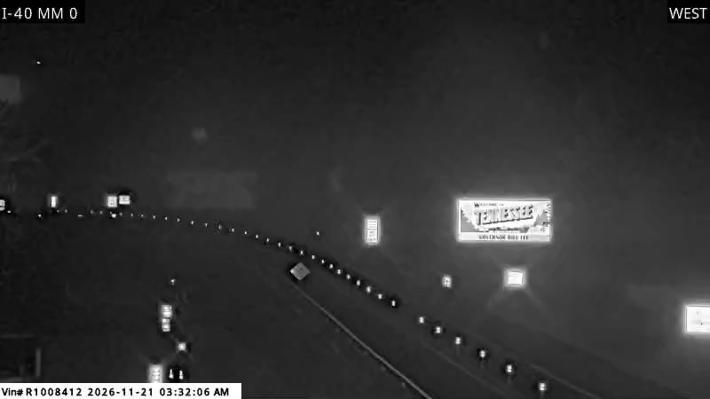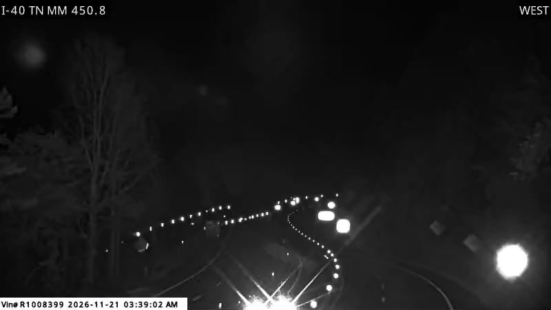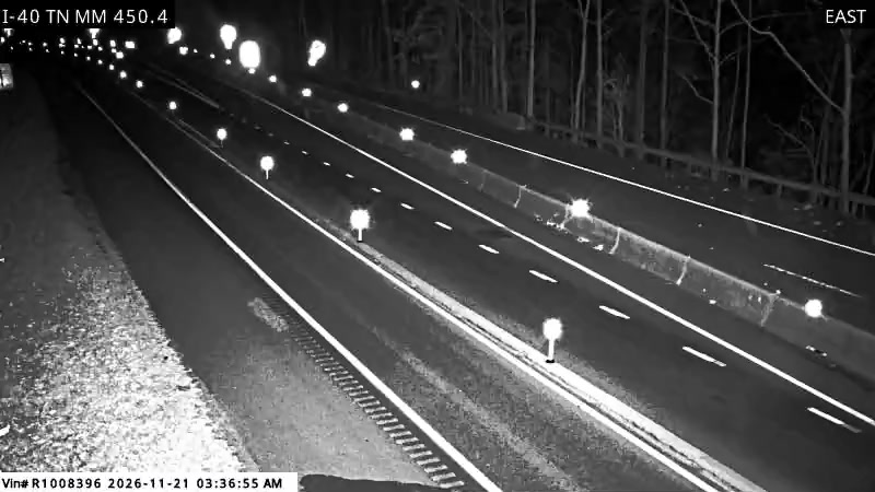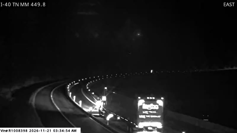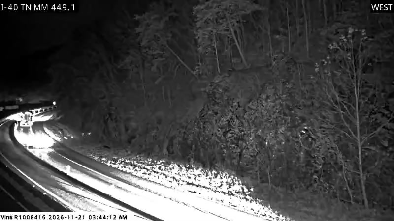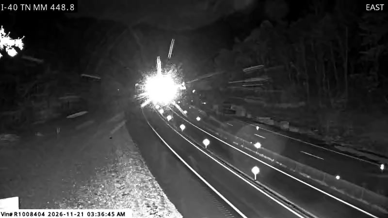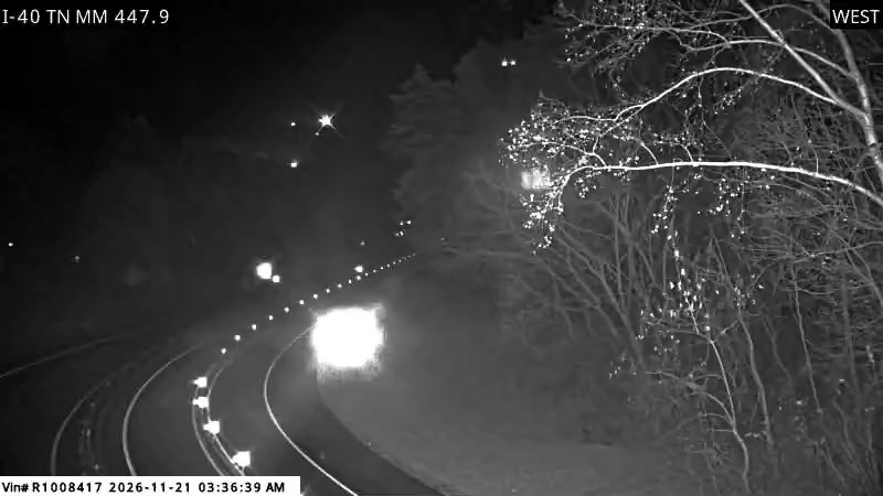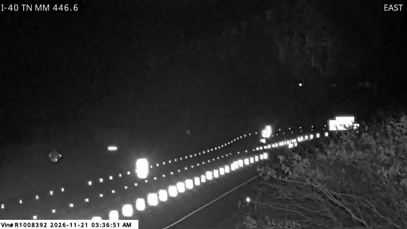
33 state DOT cameras stand on this corridor, most of them inside the Pigeon River Gorge.
That concentration is the useful thing to know about cameras here. The approaches through Asheville and Knoxville are ordinary interstate, watched the way any metro freeway is watched. The gorge is where the road narrows to one lane each way beside a river, and it is the gorge cameras that tell you whether the drive is moving, queued, or fogged in before you commit to it.
6 cameras on this segment.
3 cameras on this segment.
13 cameras on this segment.
11 cameras on this segment.
No cameras listed on this segment yet. Conditions are carried by the state event feeds.
The state registries list 33 cameras on this corridor. Most of them stand inside the Pigeon River Gorge itself, where NCDOT runs a dense set on the North Carolina side and TDOT covers the Tennessee side near Hartford, because the gorge is where this road's problems happen.
They are still images published by the DOTs that refresh as the agencies update them. A still is enough to judge the one lane pattern, traffic, and fog, and each camera page links to the cameras on either side so you can read the gorge as a sequence.
Because the gorge gives you no second chances. With one lane each way, almost no shoulder, and fog that settles on the river, the cameras are how you see the actual road before you commit to it: the queue at the work zone, the visibility at the tunnel, and whether traffic is moving at Hartford.
The North Carolina Department of Transportation on the North Carolina side, through DriveNC, and the Tennessee Department of Transportation on the Tennessee side, through TDOT SmartWay. The stills are agency images served live from the state feeds on every view and credited to both DOTs. This site hot links them and never stores or rehosts camera image files.
Agencies refresh their stills on their own schedules, and a camera can lag in bad weather, which is itself information. Read the camera together with the verdict and the events list on the segment page: the verdict comes from the live event feeds, not from the pictures.
Road conditions, events, and camera data: the North Carolina Department of Transportation (NCDOT) via DriveNC and the Tennessee Department of Transportation (TDOT) via TDOT SmartWay. Weather forecasts: the National Weather Service.